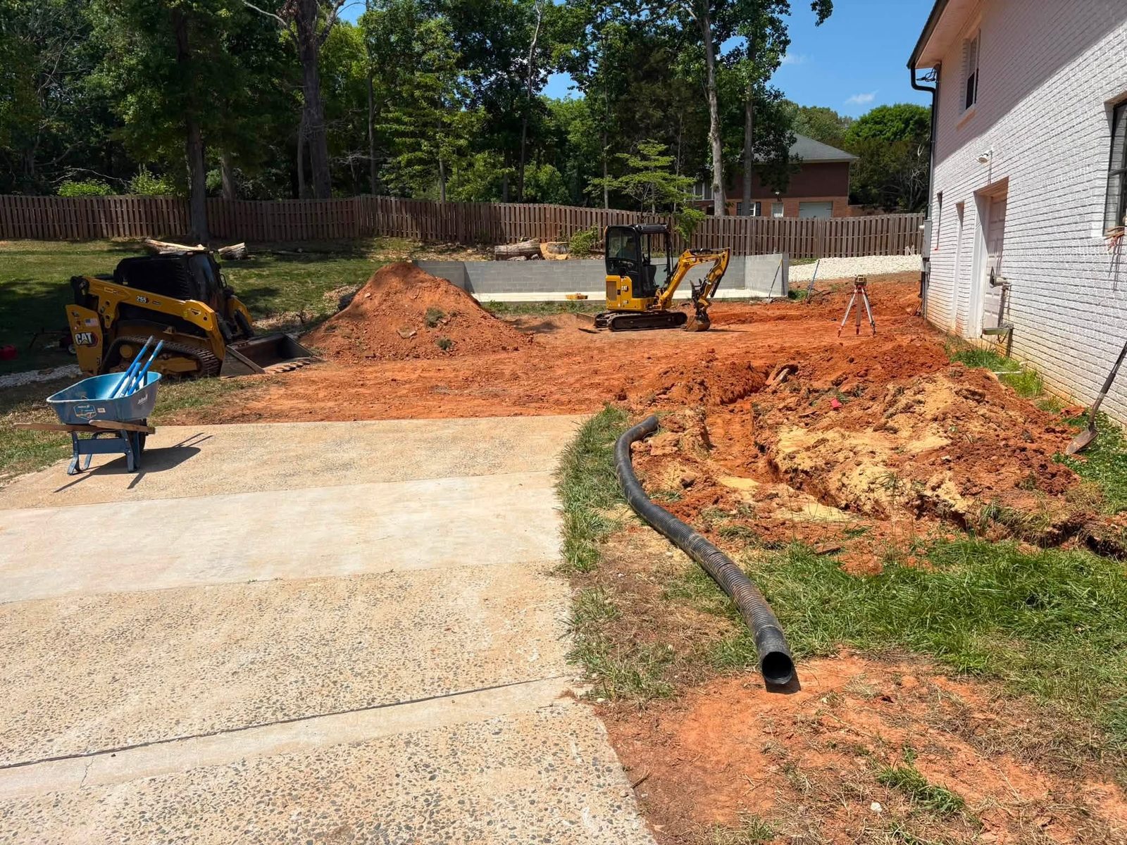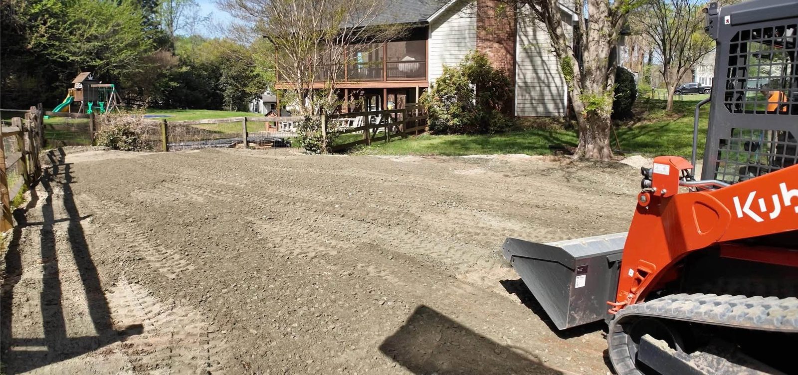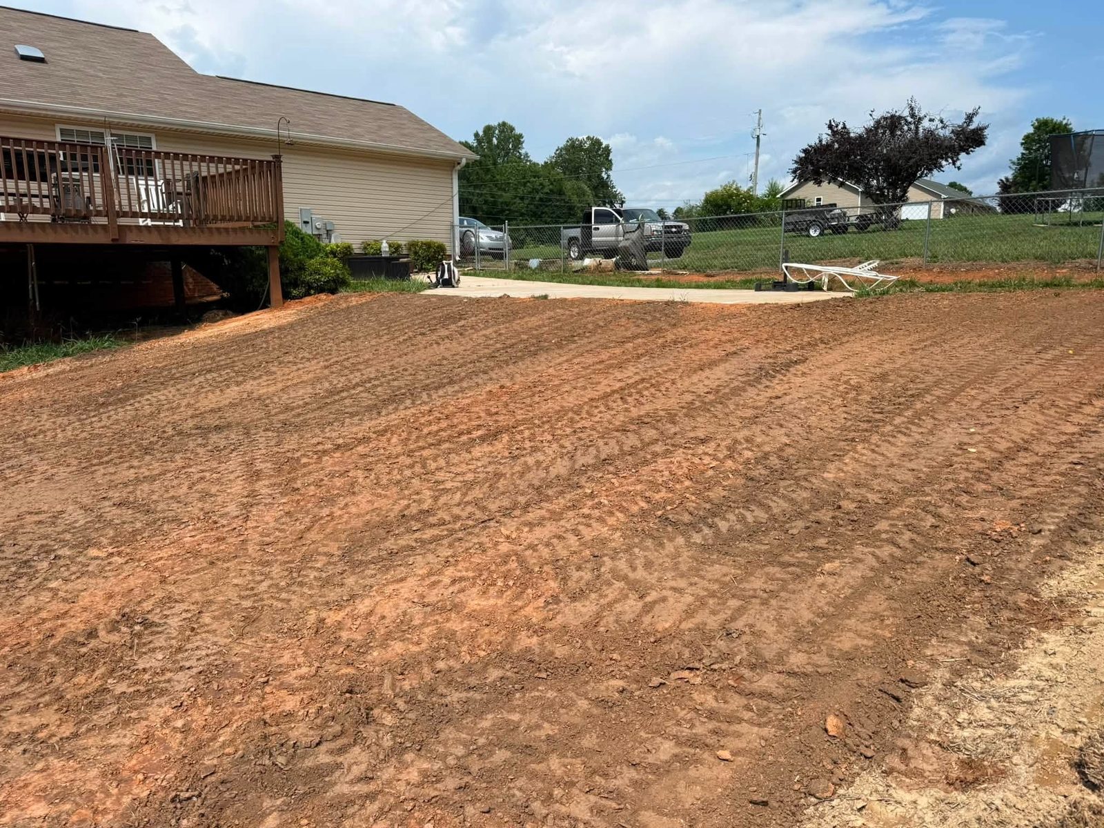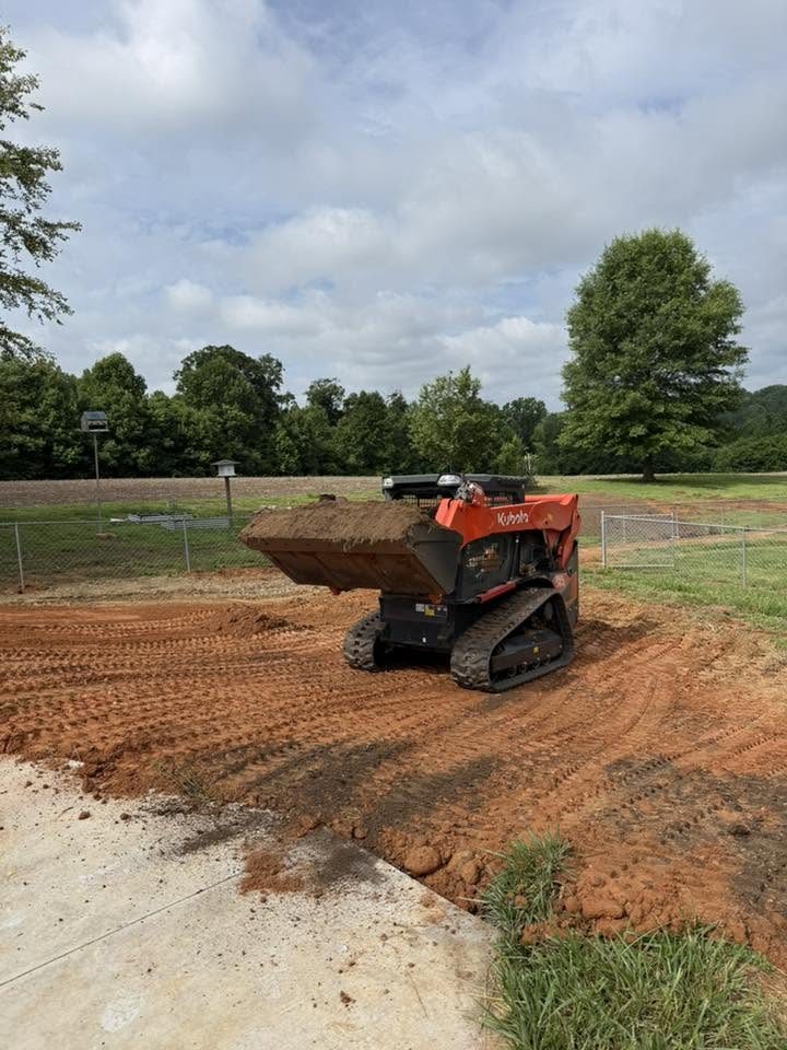
Lewisville's growth edge and the clay it left behind
Lewisville occupies the western growth corridor of Forsyth County — a stretch of former farmland that has absorbed steady residential expansion from Winston-Salem over the past two decades. That growth pattern shapes nearly every grading call in this area: lot prep for homes still in the permit queue, driveway corrections on subdivisions that settled after the early 2000s, and backyard drainage repairs on lots that were finish-graded too flat before the first house on the street ever sold.
The common thread is the Piedmont clay that underlies most of this county. When that clay is disturbed, compacted, and left exposed without proper stabilization, it sheds water quickly and seals hard — converting a minor slope problem into a standing-water situation that compounds with every wet season. Yards graded acceptably at construction can fail silently for years until one heavy spring makes the problem impossible to ignore.
The Yadkin River basin, which collects drainage from most of Forsyth County, amplifies the pattern. Low spots and disturbed surfaces that redirect sheet flow toward drainage easements create conflicts when adjacent lots develop and alter established flow paths. Understanding where your parcel sits in the local drainage picture is the first question a grading contractor should answer — before any dirt moves.
Scope-by-scope cost ranges for this market
Most residential grading in Lewisville falls into one of five categories. The full county-level breakdown is in the grading cost guide; the table below gives honest ranges for the work that comes up most often here.
| Scope | Typical Range |
|---|---|
| Driveway regrade or extension (up to 50 ft) | $1,200 – $2,200 |
| Backyard drainage correction (swale and regrade) | $1,500 – $3,500 |
| Residential lot clearing and rough grade | $2,500 – $5,500 |
| Pad prep for addition or detached structure | $1,800 – $4,000 |
| Major regrade with heavy fill or significant cut | $5,500 – $8,000+ |
Soil handling is the biggest variable within these ranges. Piedmont clay is dense, and whether material needs to be hauled off-site or fill must be imported can move a quote by hundreds to thousands of dollars. Get clarity on the disposal or sourcing plan before comparing bids — two proposals that look similar on paper can diverge once soil logistics are accounted for.
Permits and erosion controls Forsyth County requires
Any land-disturbing activity over one acre in North Carolina triggers a formal erosion and sediment control plan under the state program administered by NC DEQ's Erosion and Sediment Control division. Most residential grading falls under that threshold, but Forsyth County still requires a grading or land-disturbance permit for work tied to new construction and significant site modifications. The county's development services process is detailed at Forsyth County's official site — confirm current permit requirements before work begins, since thresholds and fee schedules are updated periodically.
Erosion controls — silt fencing, inlet protection, check dams, and temporary seeding — are permit conditions, not suggestions. A contractor who removes or fails to maintain those controls before ground cover is re-established exposes the property owner to stop-work orders and penalty notices. Disturbed Piedmont clay with an unobstructed path to a storm inlet is exactly the scenario the state program was written to prevent, and inspectors in active development zones around Lewisville are not lenient about it.
Stormwater history and what it means for grading scopes here
Forsyth County's storm record is part of the grading conversation. Federal disaster declarations touching the county number 22 across a span from 1977-2026, most tied to flooding and severe weather events. Each of those events pushed water at drainage systems and finished grades that were built to an older set of assumptions — and in many cases exposed where grading had been done just well enough to pass inspection and no better.
Before any scope is finalized, the upstream question has to be answered: where does water from uphill impervious surfaces and adjacent lots go now, and does the proposed grade change redirect any of it onto a neighbor's property? Redirecting sheet flow off your lot onto adjacent land creates practical conflicts and, in some cases, legal liability. FEMA's Flood Map Service Center shows whether a parcel carries a mapped flood-zone designation — a fact that affects both the engineering approach and which permits apply. Work within a mapped floodplain may also trigger federal stormwater review under EPA rules.
Getting a grading bid that actually holds
Grading starts with a site walk, not a proposal. Slopes, existing drainage patterns, and soil conditions tell a contractor more about what the job actually requires than any plan sheet does. The site preparation guide covers what a proper pre-work assessment should include. For a broader look at how grading connects to excavation, land clearing, and earthwork sequencing, the grading and excavation overview explains how those scopes interact and which comes first on a new build.
In North Carolina, contractors performing grading work above a specific contract value must hold a current license with the appropriate classification. Ask for the license number and verify it independently before signing. A complete grading proposal names the fill source or disposal destination, describes which erosion controls remain in place and through what milestone, and provides a rain-delay policy — because a Forsyth County spring will test all three of those provisions before the job closes. A bid missing those details is not a bargain; it is a future dispute waiting to surface.