When Piedmont Clay Opens Up
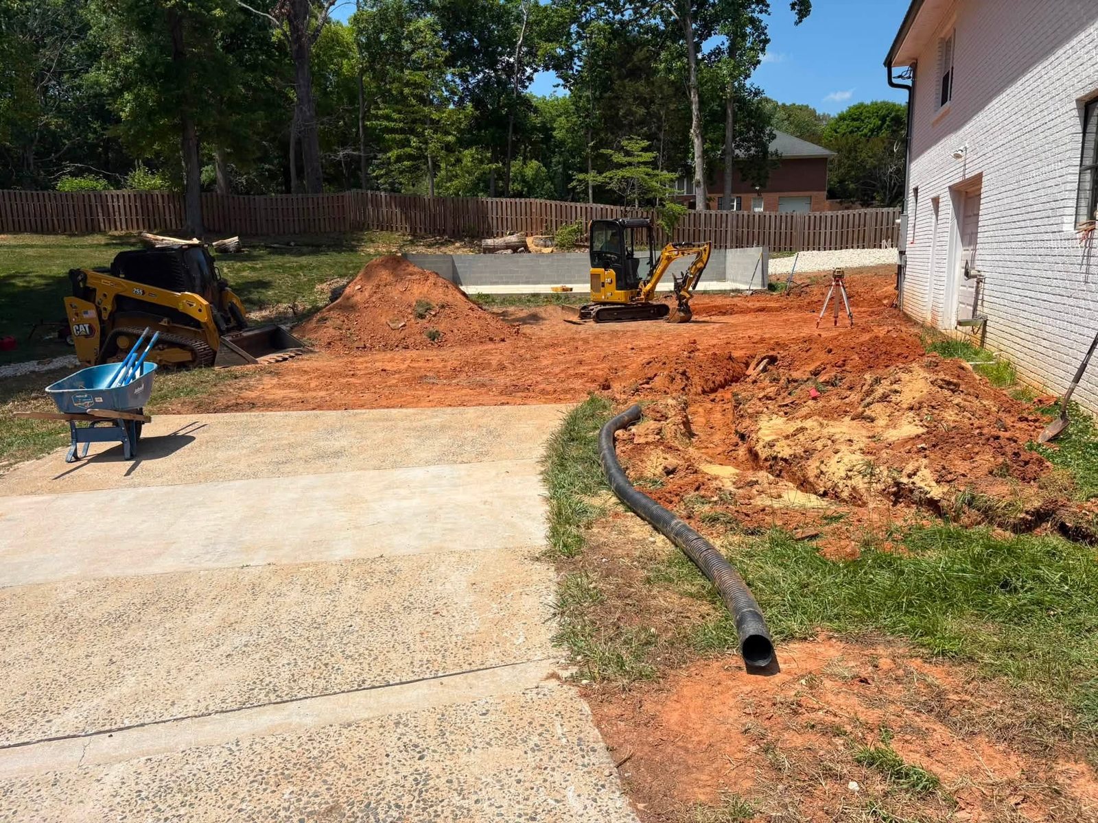
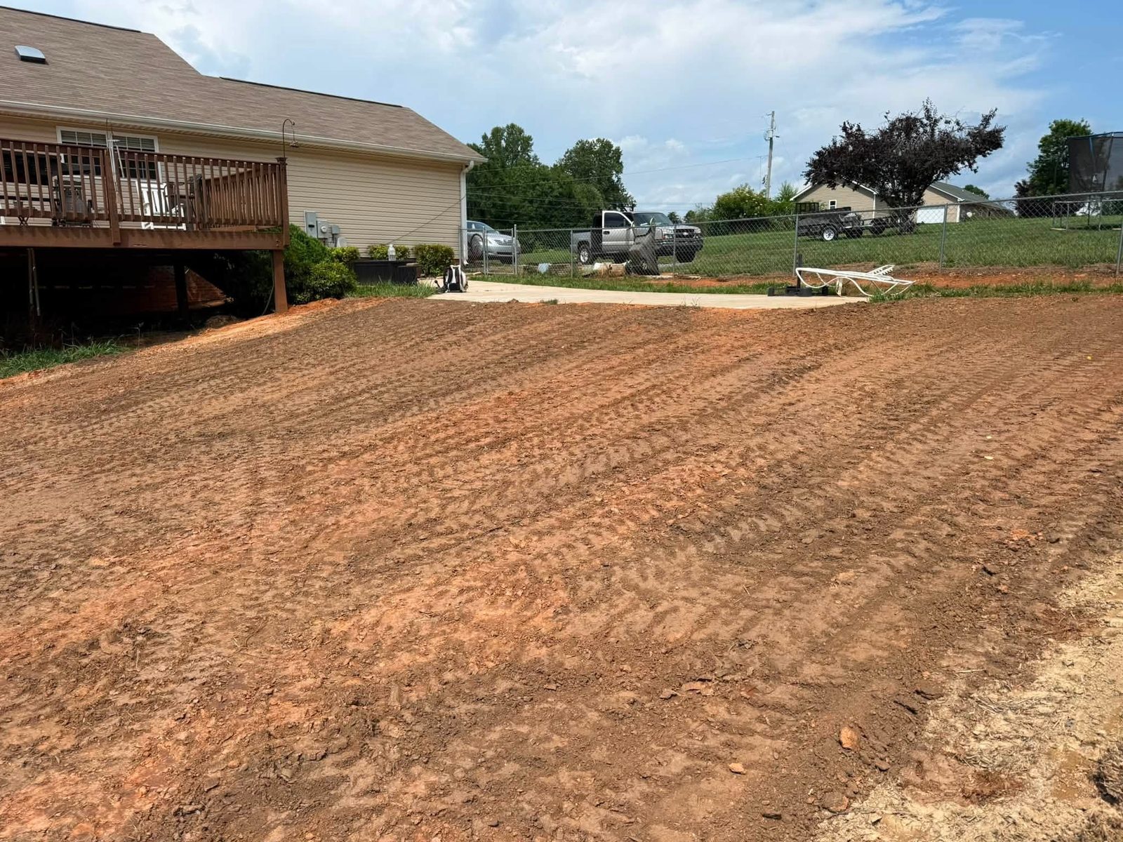
Winston-Salem's residential lots rest on the Piedmont's signature red clay — dense, nearly impermeable, and relatively stable when a grass root mat holds the surface intact. That same density is what makes an erosion gully in the yard so destructive once it starts: bare clay offers almost no friction to incoming runoff, so each storm deepens and widens the channel instead of simply passing over it. A worn path down a side yard, a downspout extension that stops six inches short of the turf, a new garden bed that redirected sheet flow by two feet — any of these can open a cut that looks like a minor groove in May and looks like a trench by September. Forsyth County's rolling terrain runs mostly 3 to 8 percent on residential lots, enough slope to give summer thunderstorms real cutting energy. Older neighborhoods like West End and Ardmore tend to have root systems and mature grades working in their favor; newer development in the northern parts of the county faces fresh graded cuts without that structural advantage.
What the Channel Shape Is Telling You
Not every gully calls for the same approach. A tight V-shaped cut with sharp upper edges is still actively growing — water is concentrating at a point and the channel is migrating uphill with each rain through a process called headcutting. A wider, flatter profile with sloughed sidewalls means the gully has already spread laterally and the problem is managing collapse, not just depth. The most urgent sign is a concave vertical break at the top of the channel: that headcut scarp can jump several feet in a single storm, not gradual creep. Also look for small circular depressions along the channel wall — these are collapse holes from subsurface piping, where water has already found a path below the surface. When piping is present, a surface fill will not hold; the underground path has to be intercepted before any surface work makes sense.
What Repair Runs in Forsyth County
Four variables set the cost: channel depth, channel length, whether the water source driving it gets corrected, and what outlet work the downhill end requires. The table below covers the most common residential scopes.
| Scope | Typical Range |
|---|---|
| Shallow rill, under 4 in. deep, up to 20 linear ft. | $400–$900 |
| Moderate gully, 4–12 in. deep, 20–60 linear ft. | $1,200–$2,500 |
| Deep channel with subsoil exposure, outlet work included | $2,500–$4,500 |
| Channel along grade break requiring riprap lining | $2,000–$3,800 |
| Full drainage correction with inlet and outlet structures | $3,500–$5,500 |
Jobs that run along a grade change of two feet or more often need a structural component; the retaining walls page covers those scopes separately. At any price point, the single largest driver of re-cut is a repair that addresses the channel without addressing the water feeding it — expect to pay again within two seasons if the source goes unsolved.
The Sequence That Holds
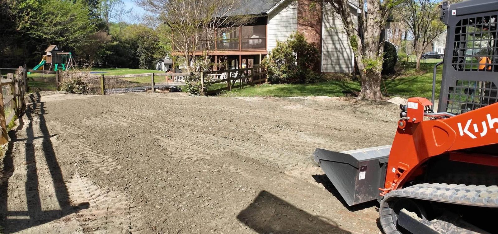
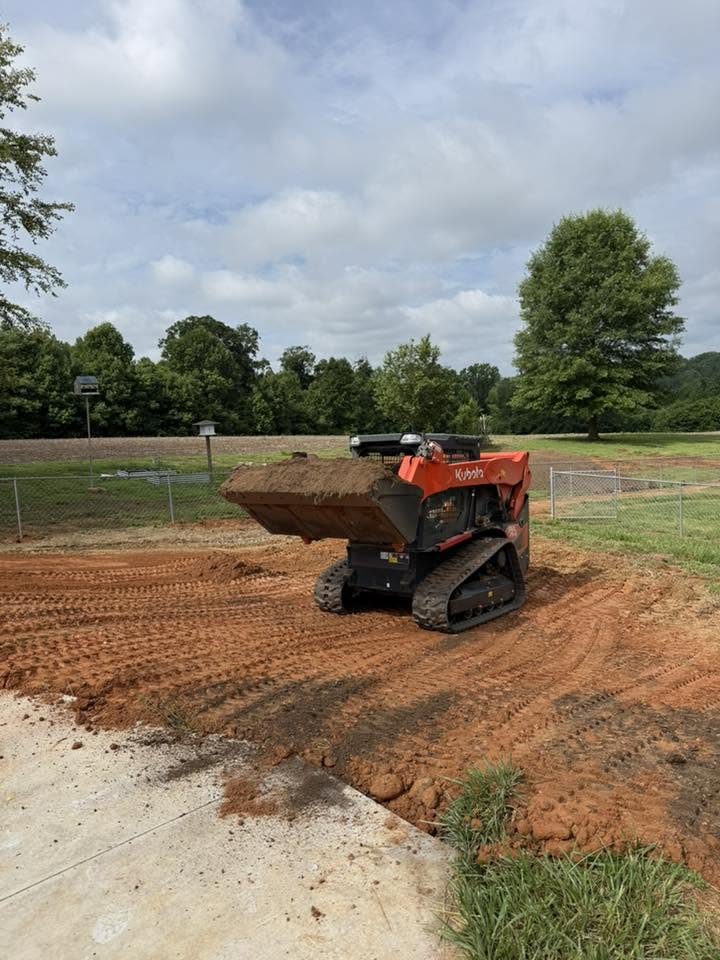
Order matters more than materials. The sequence that works: identify and redirect or slow the water source (downspout correction, swale rerouting, inlet repair); reshape the channel to a stable cross-section with sloped sidewalls rather than vertical walls; install energy dissipation at the top if concentrated flow is still arriving; stabilize exposed soil with erosion fabric, native grass plugs, or riprap depending on flow velocity; then establish permanent vegetative cover last. For channels that discharge toward a drainage ditch or property edge, outlet protection belongs in the plan before reshaping starts — see the ditch and riprap page for outlet-specific approaches including channel lining and rock check dams. When a gully is one symptom of a broader grading or drainage problem across the lot, the erosion control page covers whole-lot assessments and long-term stabilization plans that go beyond a single channel repair.
Permits, Thresholds, and DEQ Rules
Most single-lot gully repairs stay below the threshold that triggers state permitting, but knowing where that line sits is worth understanding before work starts. The NC DEQ Erosion and Sediment Control program requires a formal erosion and sedimentation control plan for any land-disturbing activity covering one acre or more — a threshold individual residential repairs rarely reach, but one that applies immediately when adjacent lots are addressed simultaneously or when the channel feeds a classified stream. For work near or within a mapped floodplain, the FEMA Flood Map Service Center establishes whether additional local review applies; Forsyth County's planning staff, reachable through forsyth.cc, handles floodplain development questions for unincorporated areas and coordinates with the city for Winston-Salem lots. Storm history gives this context real weight: Forsyth County carries 22 federal disaster declarations spanning 1977-2026, a meaningful share of them storm and flooding events that cut new channels in yards that had been stable for years.
The Question That Sorts the Crews
Before committing to any contractor, ask one question: what happens to the water that fed this gully after the repair is done? A crew that answers with fill material and seed is a crew solving the symptom. A crew that walks the property uphill of the cut, identifies the source, and includes that correction in their scope is a crew solving the problem. For work on sites where runoff discharges to a waterway, the EPA's stormwater program establishes federal-level standards for erosion and sediment control that a competent contractor will already know; asking about outlet destination before finalizing scope is a baseline professional check. Repairs on older lots with significant tree canopy also need to account for root systems — cutting through a major root to regrade a channel trades one problem for two and can destabilize a mature tree in the process.