Converted farmland is the fact that changes every scope here
Rural Hall sits at the northern edge of Forsyth County where tobacco fields and grazing pastures have been steadily platted into residential streets and new subdivision pads over the past two decades. That land-use shift is what separates a grading job here from one in an established Winston-Salem neighborhood to the south. Soil that spent generations under row crops compacts at depth in ways that read fine to a shovel on the surface but drain poorly the moment a slab or foundation goes in on top of it. Grade a new home pad without addressing that layer and the drainage failures show up two rainy seasons later, tracing directly back to the original site prep.
The terrain adds a second variable. Forsyth County's Piedmont rolling ground creates real elevation breaks between adjacent parcels — not steep by mountain standards, but enough to redirect sheet flow from one yard into a neighboring foundation if the grade transition is not designed for a finished residential lot rather than a field. On formerly agricultural parcels, drainage patterns were built to move water off crops, not to protect a structure sitting twenty feet downslope. A grader who approaches those lots the same way they approach a standard subdivision infill is starting from the wrong premise.
The soil itself compounds both issues. Red Piedmont clay shrinks when it dries and swells when it wets. That seasonal movement shifts grades over time and can open drainage paths that weren't visible at final inspection. On a lot with a heavy clay profile, the finished grade needs to account for that movement — not just match the elevation a building permit calls for.
What grading work actually looks like on these lots
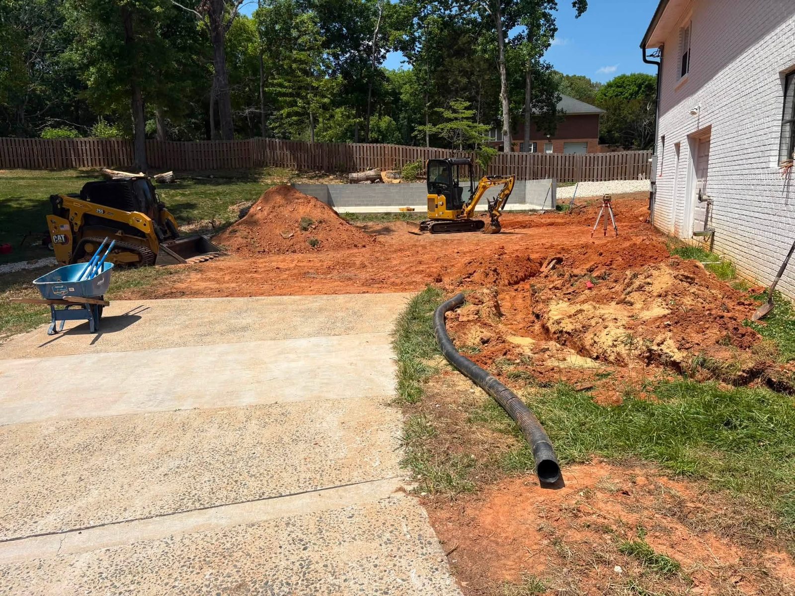
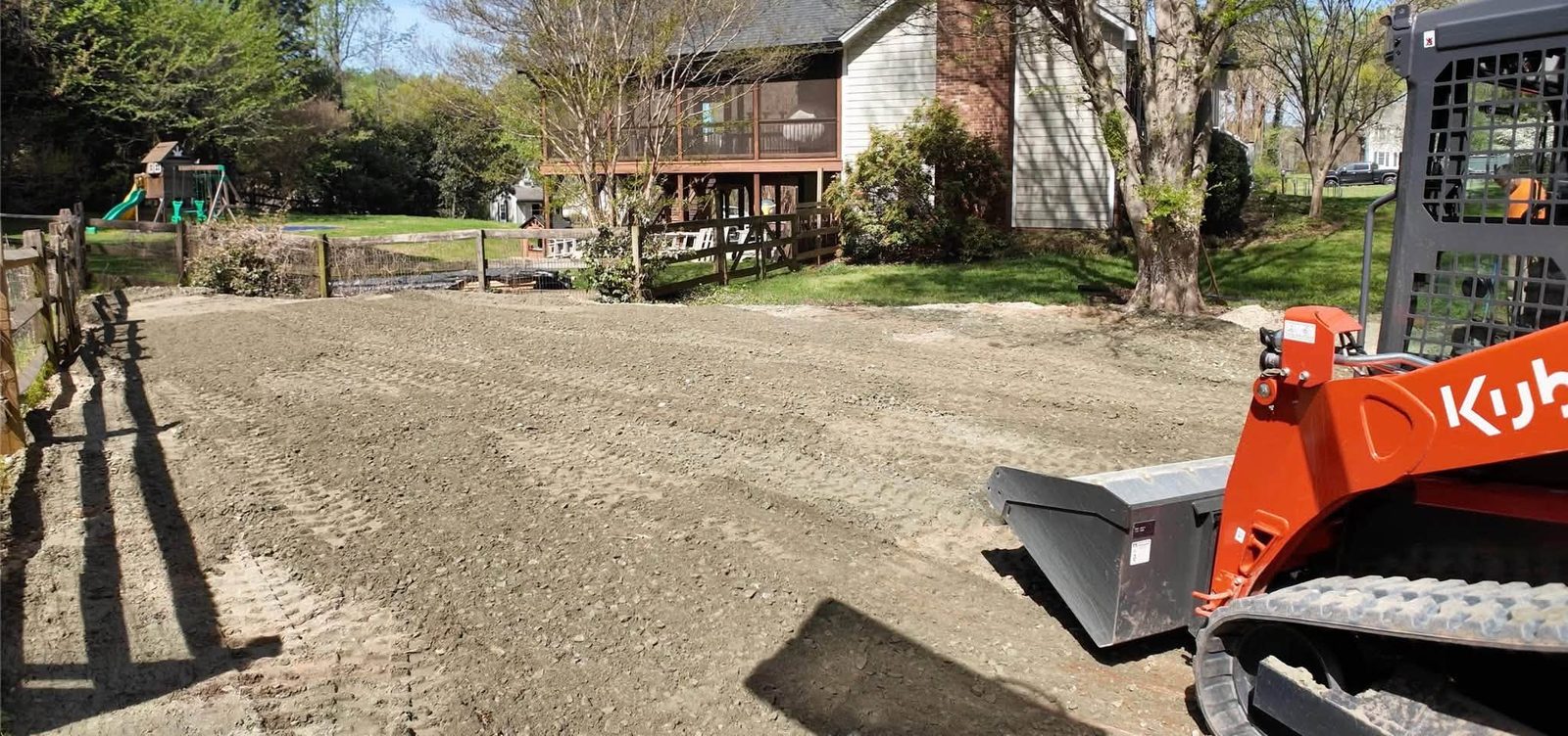
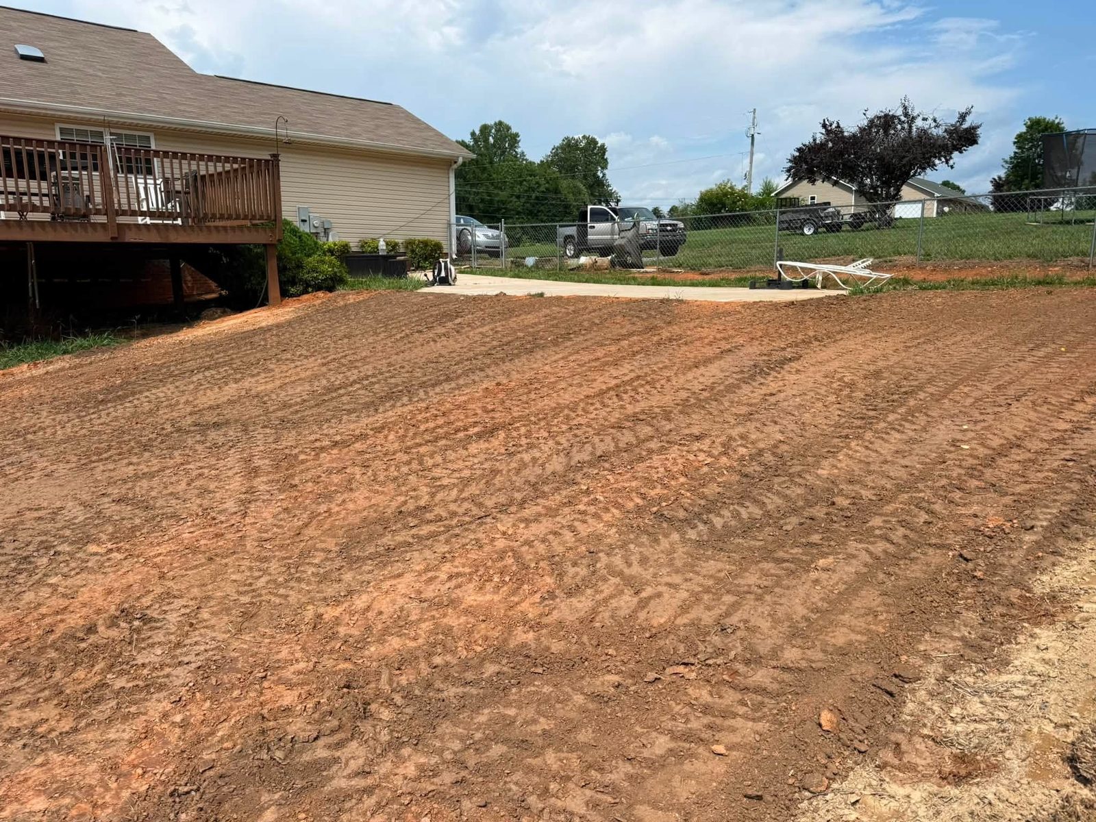
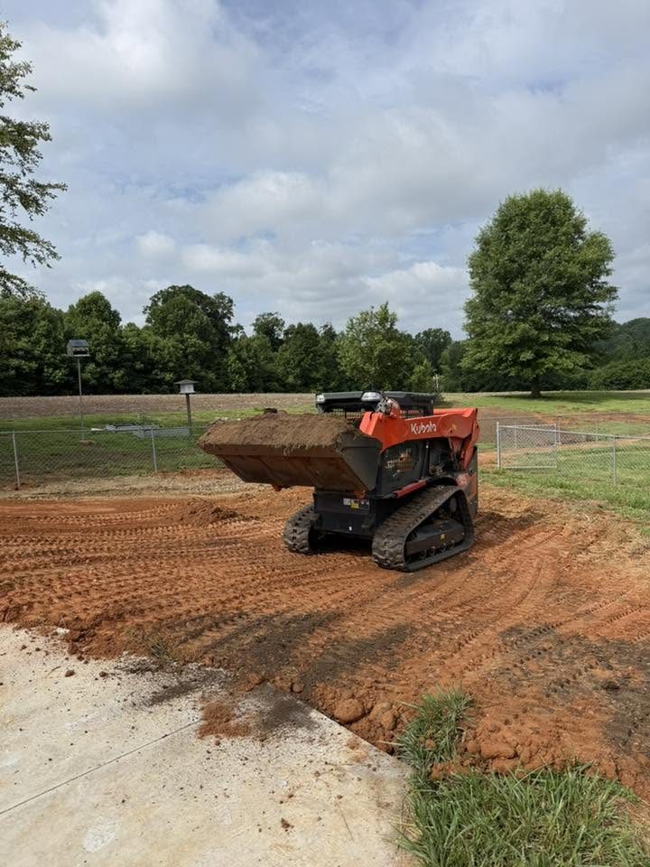
The jobs that repeat in this part of Forsyth County fall into a few consistent categories. New residential pad prep on a subdivided agricultural parcel is the most common: stripping topsoil, cutting and filling to rough finished grade, compacting subgrade, and establishing positive drainage away from the foundation perimeter on all sides. Drainage corrections on existing properties come second, typically where a neighbor's new construction has altered sheet flow patterns that a lot had managed without complaint for years. Driveway and access grading on lots with rural road frontage, and rough grading for outbuildings or detached garages on land that hasn't been touched since it was farmland, round out most of what shows up.
Any job that sits near a drainage channel or within a mapped flood zone adds a review layer before earthwork can begin. The full scope of what site work covers from clearing through finished grade is at grading and excavation; for the sequence specific to pad prep and what happens between clearing and the builder arriving, site preparation walks it stage by stage.
What jobs cost in this area
Prices in Rural Hall track the Forsyth County market with a consistent premium on jobs involving former farmland, because compacted agricultural subsoil often requires additional machine passes and selective fill before a site is ready for construction. The table below reflects the ranges that come up most frequently here; the full grading cost breakdown covers the line items that push a scope toward or past its range ceiling.
| Scope | Typical Range |
|---|---|
| Driveway grading, existing lot | $1,200 – $2,400 |
| Drainage correction or swale installation | $1,500 – $3,200 |
| New home pad prep, standard residential lot | $2,800 – $5,500 |
| Lot clearing and rough grade combined | $3,500 – $6,500 |
| Full regrade on former agricultural parcel | $4,500 – $8,000 |
Soil conditions are the single largest price variable in this market. A lot with workable loam over a firmer subgrade costs less to prepare than one where the top eighteen inches is compacted clay that needs mechanical conditioning before fill will compact properly. Any quote that arrives without a soil probe or at minimum a walk of the lot after rain is working from an assumption that the job may not support.
Erosion control and what Forsyth County requires before work starts
North Carolina mandates a formal erosion and sediment control plan on any project disturbing one acre or more of land. The NC DEQ Erosion and Sediment Control program sets the state baseline, and Forsyth County administers its own land-disturbance review for projects that fall below that threshold but still disturb enough ground to require local approval. A residential pad prep on a subdivided agricultural lot — even a half-acre site — routinely triggers county review, particularly if the parcel drains toward a mapped drainage easement or an adjacent property.
Projects that create new impervious cover or concentrate stormwater runoff toward adjacent land may also fall under EPA NPDES stormwater requirements depending on project size and proximity to regulated waterways. A contractor who doesn't raise permit thresholds during the estimate is skipping the step most likely to stall a job mid-excavation. The correct sequence — permits and erosion control plan first, clearing second, grading third — is not a suggestion; it is what a county inspector will verify if a complaint or a site inspection triggers a stop-work review.
Storm history and why drainage design belongs in the scope
Forsyth County's federal disaster record includes 22 declared events spanning 1977-2026, the large majority of them storm and flood related. Each event pushed water at properties built under a drier baseline assumption, and Rural Hall's position in the county's northern drainage basin means storm runoff concentrates on the agricultural-to-residential transition parcels before it reaches the larger channels downstream. That pattern makes drainage design a first-order grading question, not an afterthought.
Before any contractor establishes final grade on a lot in this area, the uphill drainage story needs to be documented: where a neighboring parcel's runoff discharges, whether a county drainage easement crosses the property, and whether the proposed finished grade could create ponding within ten feet of the foundation under a two-inch rain event. The FEMA Flood Map Service Center is the right starting point for any parcel where flood zone proximity is an open question. On a former agricultural lot where the drainage infrastructure was built for crops, that check is not optional.
Hiring the right crew for a Rural Hall project
Three questions matter specifically for this market. First, ask whether the crew has worked former agricultural parcels in Forsyth County. The compaction profile under an old tobacco field is different from a standard subdivision lot, and a crew encountering it for the first time will underbid the machine time and either absorb the loss or cut corners on subgrade prep. Second, ask how they handle the permit pull: a contractor who takes the erosion control plan and the county land-disturbance permit on as part of the scope is protecting both the project timeline and the owner's liability. One who hands that off to the owner to sort out is transferring risk. Third, ask specifically how they establish final grade relative to neighboring drainage, not just to the property boundary. The answer separates contractors who understand Forsyth County's drainage enforcement posture from those who are guessing.
The NC Department of Insurance building codes division covers the grading and drainage provisions that feed directly into what a framing or final inspector will verify once construction is underway. A grading scope that is inconsistent with those requirements creates problems that surface later, under a different contractor's name.